Homes, condos and land for sale and rent in Aptos, CA
Aptos is also an unincorporated town defined by ZIP codes 95001 and 95003. The town includes several small communities with a combined population of 24,402.
The first European land exploration of Alta California, the Spanish Portolà expedition, passed through the area on its way north, camping at one of the creeks on October 16, 1769. The expedition diaries don’t provide enough information to be sure which creek it was, but the direction of travel was northwest, parallel to the coast. Franciscan missionary Juan Crespi, traveling with the expedition, noted in his diary that, “We stopped on the bank of a small stream, which has about four varas of deep running water. It has on its banks a good growth of cottonwoods and alders; on account of the depth at which it runs it may be that it cannot be utilized to water some plains through which it runs.” Crespi diary translator Herbert Bolton speculated that the location was Soquel Creek, but it could have been Aptos Creek.
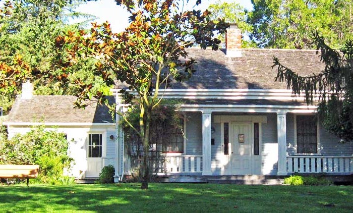
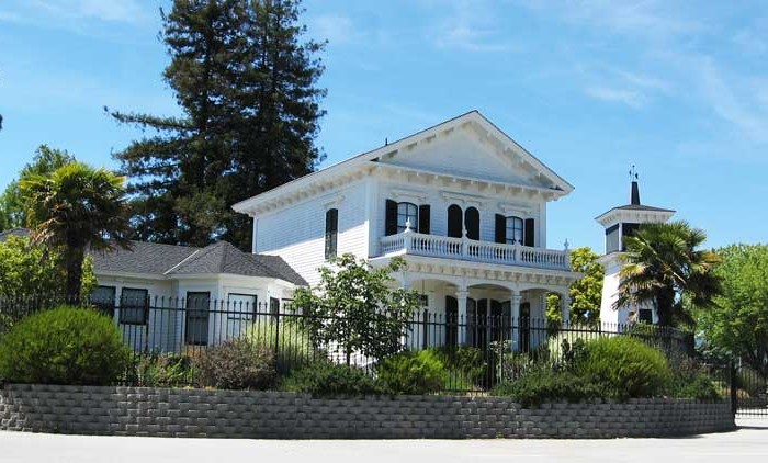
In the early 1960s Aptos began a period of rapid development, including Cabrillo College, Rancho Del Mar Shopping Center, the Seascape Resort development, and many residential developments.
According to the United States Census Bureau, the CDP has a total area of 6.4 square miles (17 km2), all of it land. The southwestern geographical boundary is Monterey Bay, while the northeast boundary is the Santa Cruz Mountains.
Aptos lies near the San Andreas Fault, and the epicenter of the 1989 Loma Prieta earthquake is marked within The Forest of Nisene Marks State Park.
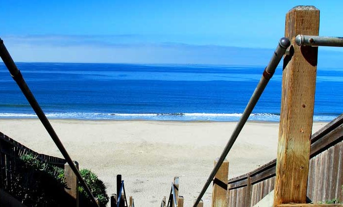
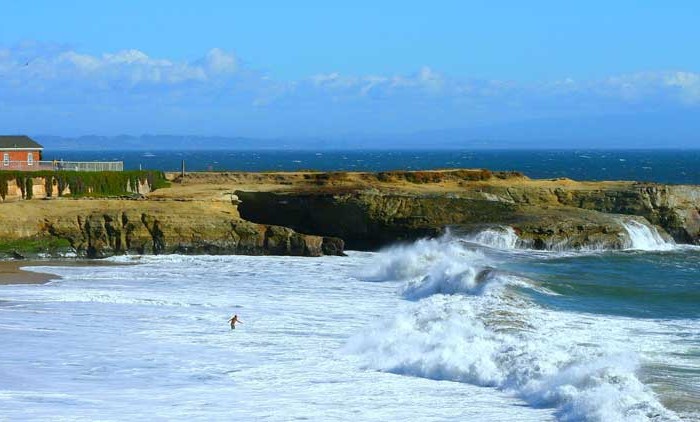
Many Aptos beaches are popular spots for surfing and bodyboarding. Aptos is also a popular spot for Freeride biking and street skateboarding. Efforts have gone towards attempting to build a skate park in Aptos, however it appears likely at this point.
The beaches of Aptos are frequented by a small but dedicated group of surfers. Due to exclusively sand-bottom beaches, wave shape in Aptos is typically not as high quality as in neighboring Capitola and Santa Cruz. However, during the Autumn and Winter, local spots “Platforms” and “Beer Can” are frequently surfed.
Aptos is also home to the annual Fourth of July “World’s Shortest Parade,” so called because the parade route is about .6 miles long.
The census reported that 98.7% of the population lived in households and 1.3% lived in non-institutionalized group quarters.
There were 2,549 households, out of which 686 (26.9%) had children under the age of 18 living, 1,353 (53.1%) were married couples living together, 192 (7.5%) had a female householder with no husband present, 95 (3.7%) had a male householder with no wife present. There were 142 (5.6%) unmarried. 665 households (26.1%) were made up of individuals and 268 (10.5%) had someone living alone who was 65 years of age or older. The average household size was 2.41. There were 1,640 families (64.3% of all households); the average family size was 2.86.
The population was spread out with 1,150 people (18.5%) under the age of 18, 436 people (7.0%) aged 18 to 24, 1,342 people (21.6%) aged 25 to 44, 2,189 people (35.2%) aged 45 to 64, and 1,103 people (17.7%) who were 65 years of age or older. The median age was 46.9 years. For every 100 females there were 97.8 males. For every 100 females age 18 and over, there were 96.8 males.
There were 2,711 housing units at an average density of 426.7 per square mile (164.7/km²), of which 75.6% were owner-occupied and 24.4% were occupied by renters. The homeowner vacancy rate was 1.5%; the rental vacancy rate was 0.8%. 75.2% of the population lived in owner-occupied housing units and 23.5% lived in rental housing units.
Aptos has three public elementary schools: Valencia Elementary, Rio Del Mar Elementary, and Mar Vista Elementary. It also has one junior high school, Aptos Junior High School, and one high school, Aptos High School. Private schools include Santa Cruz Montessori School, Orchard School, Twin Lakes Christian School, and Aptos Academy.
Other cities in Santa Cruz county
Scotts Valley Real Estate for sale and rent
Homes, condos and land for sale and rent in Scotts Valley, CA Scotts Valley is a small city between San Jose and Santa Cruz County, California, United States, about thirty miles (48 km) south of [...]
Watsonville Real Estate for sale and rent
Homes, condos and land for sale and rent in Watsonville, CA Watsonville is a city in Santa Cruz County, California, United States. The population was 51,199 according to the 2010 census. Located on the central [...]
Aptos Real Estate for sale and rent
Homes, condos and land for sale and rent in Aptos, CA Aptos is a census-designated place (CDP) in Santa Cruz County, California, United States. The population was 6,220 at the 2010 census. Aptos is bisected [...]
Santa Cruz Real Estate for sale and rent
Homes, condos and land for sale and rent in Santa Cruz, CA Santa Cruz is the county seat and largest city of Santa Cruz County, California. Situated on the northern edge of Monterey Bay, about [...]